
车埠镇 topographic map
Interactive map
Click on the map to display elevation.
About this map
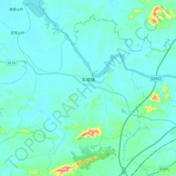
Name: 车埠镇 topographic map, elevation, terrain.
Location: 车埠镇, 赤壁市, 咸宁市, 湖北省, 中国 (29.68556 113.64529 29.83329 113.82173)
Average elevation: 144 ft
Minimum elevation: 56 ft
Maximum elevation: 906 ft
Other topographic maps
Click on a map to view its topography, its elevation and its terrain.