Geolocate

dalah topographic map

Click on the map to display elevation.

About this map

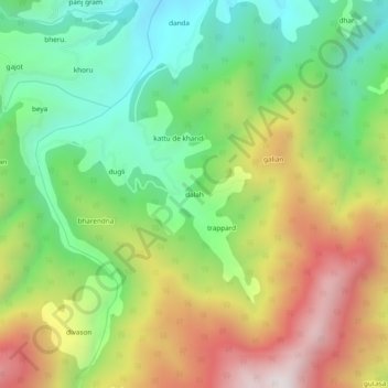
Name: dalah topographic map, elevation, terrain.

Location: dalah, Bhaderwah, Doda district, Jammu and Kashmir, India (33.00405 75.59388 33.04405 75.63388)

Average elevation: 5,981 ft

Minimum elevation: 4,580 ft

Maximum elevation: 7,959 ft

Gear up for your next adventure:

❄️Traction Cleats - Prevent slips on icy trails during winter hikes
🦶Hiking Gaiters - Keep debris and water out of your boots
📱Solar Portable Charger - Solar power bank for charging devices off‑grid
🧥Waterproof Jacket for Hiking - Breathable and rugged rain jacket for outdoor excursions
Camping Coffee Makers - Enjoy premium coffee at the summit or campsite

As an Amazon Associate, this site earns from qualifying purchases at no extra cost to you.