
Hubbell topographic map
Click on the map to display elevation.
About this map
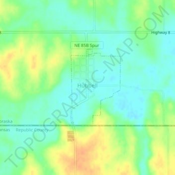
Name: Hubbell topographic map, elevation, terrain.
Location: Hubbell, Thayer County, Nebraska, 68375, United States (40.00193 -97.50101 40.01385 -97.49097)
Average elevation: 1,496 ft
Minimum elevation: 1,450 ft
Maximum elevation: 1,562 ft
Thayer County trails, hiking, mountain biking, running and outdoor activities