Geolocate

Sheldonville topographic map

Click on the map to display elevation.

About this map

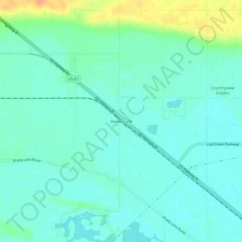
Name: Sheldonville topographic map, elevation, terrain.

Location: Sheldonville, Platte County, Nebraska, United States (41.44390 -97.44588 41.48390 -97.40588)

Average elevation: 1,480 ft

Minimum elevation: 1,447 ft

Maximum elevation: 1,578 ft

Platte County trails, hiking, mountain biking, running and outdoor activities

Gear up for your next adventure:

🪑Ultralight Camp Chairs - Portable seating for resting after a long day of mapping
🪓Survival Multi‑Tool - Versatile tool for camp and trail tasks
🧣Hiking Neck Gaiter - Multi‑use neck protection for outdoor weather
☀️Outdoor Sunscreen - High protection sunscreen for outdoor activities
🪶Trail Camera - Capture wildlife on your hikes

As an Amazon Associate, this site earns from qualifying purchases at no extra cost to you.