Geolocate

Cuchara topographic map

Click on the map to display elevation.

About this map

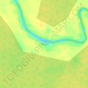
Name: Cuchara topographic map, elevation, terrain.

Location: Cuchara, Trompeteros, Province of Loreto, Loreto, Peru (-3.81324 -74.89676 -3.77324 -74.85676)

Average elevation: 413 ft

Minimum elevation: 358 ft

Maximum elevation: 430 ft

Other topographic maps

Click on a map to view its topography, its elevation and its terrain.

Quebrada SanJuan

Peru > Loreto > Trompeteros

Average elevation: 479 ft

Gear up for your next adventure:

🪶Survival Guide Book - Expert advice for emergency preparedness
🧼Biodegradable Camping Soap - Eco‑friendly soap for outdoor hygiene
🌐World Map Poster - Decorative world maps with topographic info
🧺Microfiber Travel Towels - Compact and fast-drying towels for trail use
🧣Merino Neck Gaiters - Multi-functional headwear for wind and sun protection

As an Amazon Associate, this site earns from qualifying purchases at no extra cost to you.