
Pulaski Park topographic map
Click on the map to display elevation.
About this map
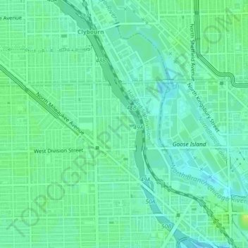
Name: Pulaski Park topographic map, elevation, terrain.
Average elevation: 597 ft
Minimum elevation: 577 ft
Maximum elevation: 620 ft
Cook County trails, hiking, mountain biking, running and outdoor activities
Other topographic maps
Click on a map to view its topography, its elevation and its terrain.
Beverly
United States > Illinois > Cook County > Chicago
Beverly, Morgan Park, Mount Greenwood, Washington Heights, and the City of Blue Island are considered part of the Blue Island Ridge. The prehistoric glacial ridge was once an island in a lake and later part of its western shore. The distinct geological history is the most significant in Chicago, being the…
Average elevation: 640 ft
Pullman National Historical Park
United States > Illinois > Cook County > Chicago
Average elevation: 597 ft