Geolocate

Scott topographic map

Click on the map to display elevation.

About this map

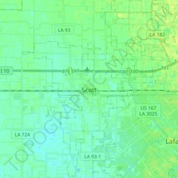
Name: Scott topographic map, elevation, terrain.

Location: Scott, Lafayette Parish, Louisiana, 70583, United States (30.18147 -92.14200 30.29051 -92.04297)

Average elevation: 39 ft

Minimum elevation: 23 ft

Maximum elevation: 59 ft

Lafayette Parish trails, hiking, mountain biking, running and outdoor activities

Other topographic maps

Click on a map to view its topography, its elevation and its terrain.

Mouton

United States > Louisiana > Lafayette Parish > Lafayette

Average elevation: 49 ft

Milton

United States > Louisiana > Lafayette Parish

Average elevation: 30 ft

Pilette

United States > Louisiana > Lafayette Parish > Lafayette > Pilette

Average elevation: 39 ft

Gear up for your next adventure:

🔦Powerful Headlamps - Ultra-bright hands-free lighting for night navigation
🌲Outdoor Survival Books - Best books on survival skills
🪑Portable Camp Table - Compact table for campsite meals
🧥Men's Rain Shells - Premium waterproof and breathable jackets for mountain weather
🛰️Handheld GPS Units - Professional satellite navigators for precise backcountry mapping

As an Amazon Associate, this site earns from qualifying purchases at no extra cost to you.