Geolocate

Alaspungo topographic map

Click on the map to display elevation.

About this map

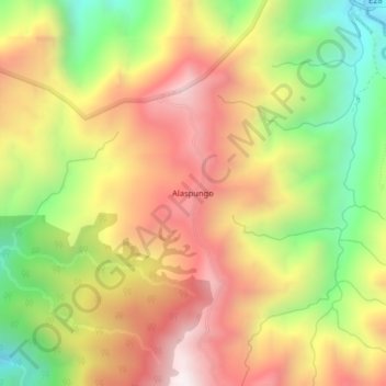
Name: Alaspungo topographic map, elevation, terrain.

Location: Alaspungo, Nono, Quito Canton, Pichincha, Ecuador (-0.03549 -78.62733 0.00451 -78.58733)

Average elevation: 9,039 ft

Minimum elevation: 7,221 ft

Maximum elevation: 10,679 ft

Gear up for your next adventure:

🔥Fast-Boil Camping Stoves - Efficient cooking systems for quick trail meals
🧴Hand Sanitizer - Keep hands clean while hiking
🛡️Insect Repellent - Protection against bugs during outdoor activities
🔦Compact Flashlight - Reliable flashlight for emergencies
🔋Solar Power Banks - Keep your GPS and phone charged in remote wilderness areas

As an Amazon Associate, this site earns from qualifying purchases at no extra cost to you.