Geolocate

Cowhill topographic map

Click on the map to display elevation.

About this map

Name: Cowhill topographic map, elevation, terrain.

Location: Cowhill, Oldbury-upon-Severn, Oldbury on Severn, South Gloucestershire, West of England, England, BS35 1QQ, United Kingdom (51.60155 -2.58973 51.64155 -2.54973)

Average elevation: 46 ft

Minimum elevation: 0 ft

Maximum elevation: 279 ft

Other topographic maps

Click on a map to view its topography, its elevation and its terrain.
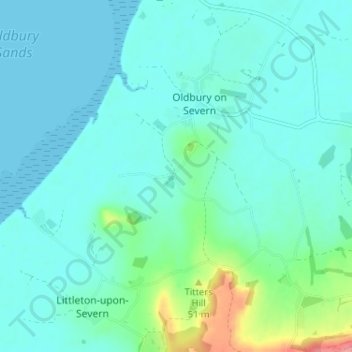
Gear up for your next adventure:

Solar GPS Watches - Advanced multisport watches with built-in topographic maps
⛑️Personal Locator Beacon - Safety beacon for emergencies
🧢Outdoor Hiking Hat - Sun protection hat for outdoor explorers
🌐World Map Poster - Decorative world maps with topographic info
🚗GPS Dash Cams - Record your scenic drives through mountain passes and canyons

As an Amazon Associate, this site earns from qualifying purchases at no extra cost to you.