
%dd topographic map
Click on the map to display elevation.
About this map
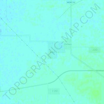
Name: %dd topographic map, elevation, terrain.
Location: %dd, Padampur Tehsil, Sri Ganganagar, Rajasthan, India (29.70773 73.55849 29.74773 73.59849)
Average elevation: 548 ft
Minimum elevation: 541 ft
Maximum elevation: 561 ft
Other topographic maps
Click on a map to view its topography, its elevation and its terrain.
Padampur
India > Rajasthan > Padampur Tehsil
Located in southwest of the Ganganagar district, the city has an average elevation of 165 metres (541 ft)
Average elevation: 554 ft