
Beersheba topographic map
Click on the map to display elevation.
About this map
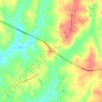
Name: Beersheba topographic map, elevation, terrain.
Location: Beersheba, York County, South Carolina, United States (35.01791 -81.33925 35.05791 -81.29925)
Average elevation: 653 ft
Minimum elevation: 535 ft
Maximum elevation: 778 ft
York County trails, hiking, mountain biking, running and outdoor activities