Geolocate

Mais topographic map

Click on the map to display elevation.

About this map
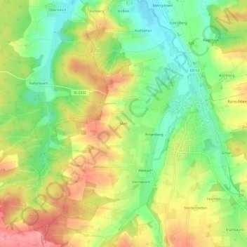
Name: Mais topographic map, elevation, terrain.

Location: Mais, Isen, Landkreis Erding, Baviera, 84424, Alemanha (48.19020 12.02040 48.23020 12.06040)

Average elevation: 1,749 ft

Minimum elevation: 1,591 ft

Maximum elevation: 1,919 ft

Gear up for your next adventure:

⛺Backpacking Tents - Weight-optimized shelters for multi-day topographic surveys
🛶Inflatable Kayak - Portable kayak for rivers, lakes, and expeditions
⛺Backpacking Tent - Lightweight and durable tent for multi‑day hikes
🏔️Mountain Trail Maps - High‑detail maps for popular peaks
📷Action Cameras - Rugged cameras to document your journeys across rugged terrain

As an Amazon Associate, this site earns from qualifying purchases at no extra cost to you.