Geolocate

Irnsing topographic map

Click on the map to display elevation.

Irnsing

Der Ort liegt in einem Steilhang des nördlichen Donauufers gegenüber der Stadt Neustadt. Während der untere Teil des Ortes noch an den Altwassern der Donau liegt, befindet sich der obere Teil bereits auf den Anhöhen des hier beginnenden Jura. Regensburg ist in östlicher Richtung etwa 45 km, Ingolstadt in westlicher 30 km entfernt. München liegt ungefähr 95 km südlich des Ortes.

Wikipedia (CC-BY-SA 3.0)

About this map

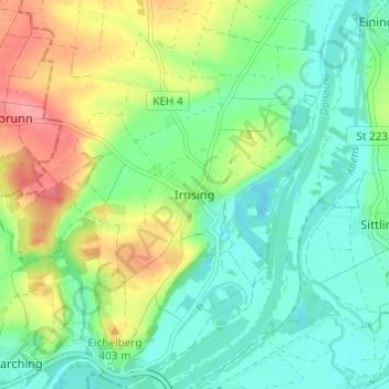
Name: Irnsing topographic map, elevation, terrain.

Location: Irnsing, Neustadt an der Donau, Landkreis Kelheim, Bayern, 93333, Deutschland (48.81665 11.72345 48.85665 11.76345)

Average elevation: 1,214 ft

Minimum elevation: 1,122 ft

Maximum elevation: 1,388 ft

Gear up for your next adventure:

🧥Men's Rain Shells - Premium waterproof and breathable jackets for mountain weather
🧦Merino Wool Socks - Moisture-wicking, blister-preventing socks for long treks
📶Satellite Messenger - Communication device off‑grid
🌐World Map Poster - Decorative world maps with topographic info
🎒Waterproof Dry Bags - Keep your electronics and maps dry inside your pack

As an Amazon Associate, this site earns from qualifying purchases at no extra cost to you.