
Make a donation
Gear up for your next adventure:
As an Amazon Associate, this site earns from qualifying purchases at no extra cost to you.
Twardogóra topographic map
Click on the map to display elevation.
Make a donation
Gear up for your next adventure:
As an Amazon Associate, this site earns from qualifying purchases at no extra cost to you.
Twardogóra
The beginnings of Twardogóra go back to the times of Polish rule under the first Piast dynasty. It was then a trade settlement connected to the trade route from Wrocław to Poznań. It was inhabited by Poles, descendants of the Silesians tribe, and from the 12th century also settlers from other countries, especially from the German states, came to Twardogóra. The modern name of the town is said to have been created during the First Mongol invasion of Poland in 1241. The inhabitants of the settlement gave the Mongols a hard resistance and hence the name, which means in Polish "Hard Mountain". Its name also covers terrain topography (Twarda Góra). Town rights were given to Twardogóra by Henry III, Duke of Głogów on August 1, 1293. Although Polish, the town was first mentioned as Vestenberg in 1293. From the beginning of the 14th century, Twardogóra was part of the Duchy of Oleśnica, which remained under the rule of the Polish Piast dynasty until 1492, although as a fief of the Kingdom of Bohemia.
Make a donation
Gear up for your next adventure:
As an Amazon Associate, this site earns from qualifying purchases at no extra cost to you.
About this map
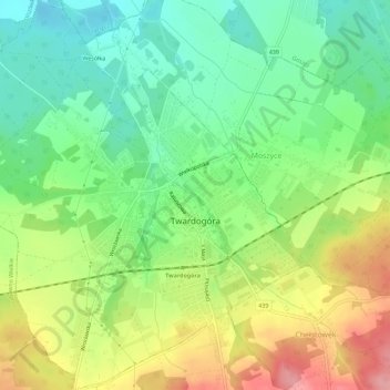
Name: Twardogóra topographic map, elevation, terrain.
Average elevation: 607 ft
Minimum elevation: 459 ft
Maximum elevation: 817 ft
Make a donation
Gear up for your next adventure:
As an Amazon Associate, this site earns from qualifying purchases at no extra cost to you.