
若羌镇 topographic map
Interactive map
Click on the map to display elevation.
About this map
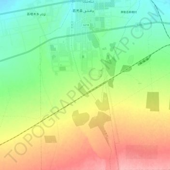
Name: 若羌镇 topographic map, elevation, terrain.
Location: 若羌镇, 若羌县, 巴音郭楞蒙古自治州, 新疆维吾尔自治区, 中国 (38.93585 88.13393 39.02880 88.18969)
Average elevation: 3,041 ft
Minimum elevation: 2,871 ft
Maximum elevation: 3,271 ft
Other topographic maps
Click on a map to view its topography, its elevation and its terrain.