
罗布泊镇 topographic map
Interactive map
Click on the map to display elevation.
About this map
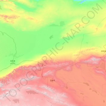
Name: 罗布泊镇 topographic map, elevation, terrain.
Location: 罗布泊镇, 若羌县, 巴音郭楞蒙古自治州, 新疆维吾尔自治区, 中国 (37.78371 86.68536 41.37673 93.81947)
Average elevation: 6,811 ft
Minimum elevation: 1,801 ft
Maximum elevation: 19,665 ft
Other topographic maps
Click on a map to view its topography, its elevation and its terrain.