Geolocate

Andover topographic map

Click on the map to display elevation.

About this map

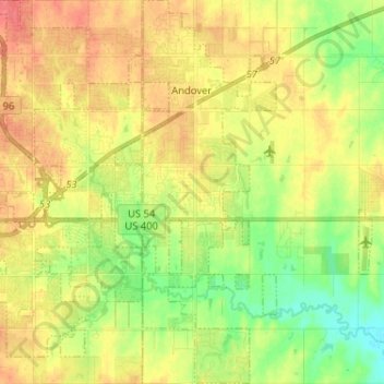
Name: Andover topographic map, elevation, terrain.

Location: Andover, Butler County, Kansas, United States (37.63588 -97.15331 37.73781 -97.10782)

Average elevation: 1,332 ft

Minimum elevation: 1,243 ft

Maximum elevation: 1,411 ft

Butler County trails, hiking, mountain biking, running and outdoor activities

Other topographic maps

Click on a map to view its topography, its elevation and its terrain.

Prospect

United States > Kansas > Butler County

Average elevation: 1,368 ft

Gear up for your next adventure:

🍳Camping Cook Set - Complete cookware for outdoor meals
🌲Outdoor Survival Books - Best books on survival skills
🧣Merino Neck Gaiters - Multi-functional headwear for wind and sun protection
🧢Outdoor Hiking Hat - Sun protection hat for outdoor explorers
🪶Survival Guide Book - Expert advice for emergency preparedness

As an Amazon Associate, this site earns from qualifying purchases at no extra cost to you.