
Thank you for supporting this site ❤️
Make a donation
Make a donation
Gear up for your next adventure:
As an Amazon Associate, this site earns from qualifying purchases at no extra cost to you.
Saray topographic map
Click on the map to display elevation.
Thank you for supporting this site ❤️
Make a donation
Make a donation
Gear up for your next adventure:
As an Amazon Associate, this site earns from qualifying purchases at no extra cost to you.
About this map
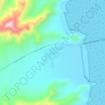
Name: Saray topographic map, elevation, terrain.
Location: Saray, دهستان جزیره, بخش ایلخچی, Osku County, Iran (37.84177 45.54420 37.88177 45.58420)
Average elevation: 4,491 ft
Minimum elevation: 4,157 ft
Maximum elevation: 6,115 ft
Thank you for supporting this site ❤️
Make a donation
Make a donation
Gear up for your next adventure:
As an Amazon Associate, this site earns from qualifying purchases at no extra cost to you.