Geolocate

Agua Azul topographic map

Click on the map to display elevation.

About this map

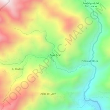
Name: Agua Azul topographic map, elevation, terrain.

Location: Agua Azul, Chontalí, Jaén, Cajamarca, Perú (-5.62618 -79.16759 -5.58618 -79.12759)

Average elevation: 6,608 ft

Minimum elevation: 4,961 ft

Maximum elevation: 8,681 ft

Gear up for your next adventure:

🦶Hiking Gaiters - Keep debris and water out of your boots
🗺️NatGeo Topo Maps - High-quality waterproof printed topographic maps of US Parks
🛶Inflatable Kayak - Portable kayak for rivers, lakes, and expeditions
🦺Reflective Outdoor Gear - Safety gear for low‑light conditions
🥾Women's Hiking Boots - Top-rated trail boots with ankle support and superior grip

As an Amazon Associate, this site earns from qualifying purchases at no extra cost to you.