
Mead topographic map
Click on the map to display elevation.
About this map
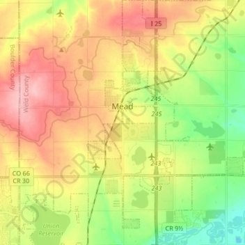
Name: Mead topographic map, elevation, terrain.
Location: Mead, Weld County, Colorado, United States (40.17538 -105.01747 40.27763 -104.93083)
Average elevation: 4,997 ft
Minimum elevation: 4,777 ft
Maximum elevation: 5,230 ft
Colorado trails, hiking, mountain biking, running and outdoor activities