
Cumes topographic map
Interactive map
Click on the map to display elevation.
About this map
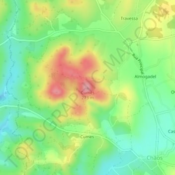
Name: Cumes topographic map, elevation, terrain.
Location: Cumes, Ferreira do Zêzere, Santarém, Centro, Portugal (39.71656 -8.41636 39.71666 -8.41626)
Average elevation: 623 ft
Minimum elevation: 453 ft
Maximum elevation: 876 ft