
Thank you for supporting this site ❤️
Make a donation
Make a donation
Gear up for your next adventure:
As an Amazon Associate, this site earns from qualifying purchases at no extra cost to you.
Raam topographic map
Click on the map to display elevation.
Thank you for supporting this site ❤️
Make a donation
Make a donation
Gear up for your next adventure:
As an Amazon Associate, this site earns from qualifying purchases at no extra cost to you.
About this map
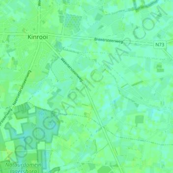
Name: Raam topographic map, elevation, terrain.
Location: Raam, Ophoven, Kinrooi, Maaseik, Limburg, 3640, België (51.11350 5.73946 51.15350 5.77946)
Average elevation: 105 ft
Minimum elevation: 89 ft
Maximum elevation: 115 ft
Thank you for supporting this site ❤️
Make a donation
Make a donation
Gear up for your next adventure:
As an Amazon Associate, this site earns from qualifying purchases at no extra cost to you.