Geolocate

Coles Pond topographic map

Click on the map to display elevation.

About this map

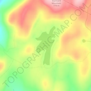
Name: Coles Pond topographic map, elevation, terrain.

Location: Coles Pond, Walden, Caledonia County, Vermont, United States (44.50278 -72.22035 44.51432 -72.21193)

Average elevation: 2,247 ft

Minimum elevation: 1,877 ft

Maximum elevation: 2,566 ft

Caledonia County trails, hiking, mountain biking, running and outdoor activities

Gear up for your next adventure:

💧Water Filtration Bottles - Safely drink from streams and lakes while exploring
🌡️Handheld Weather Meters - Measure wind, temp, and pressure for safe mountain travel
🔭Compact Binoculars - HD vision for scouting terrain and identifying distant landmarks
🔭Telescopic Hiking Pole - Adjustable pole for hiking stability
📖Nature Tracking Books - Learn to track wildlife and terrain

As an Amazon Associate, this site earns from qualifying purchases at no extra cost to you.