
Thank you for supporting this site ❤️
Make a donation
Make a donation
Gear up for your next adventure:
As an Amazon Associate, this site earns from qualifying purchases at no extra cost to you.
Slagtofta topographic map
Click on the map to display elevation.
Thank you for supporting this site ❤️
Make a donation
Make a donation
Gear up for your next adventure:
As an Amazon Associate, this site earns from qualifying purchases at no extra cost to you.
About this map
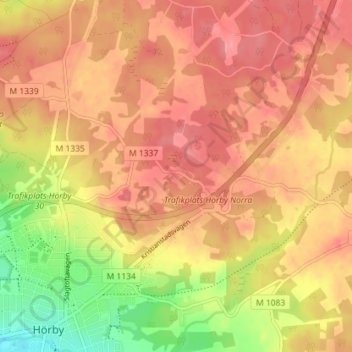
Name: Slagtofta topographic map, elevation, terrain.
Location: Slagtofta, Hörby, Hörby kommun, Skåne County, 242 35, Sweden (55.84852 13.66650 55.88852 13.70650)
Average elevation: 407 ft
Minimum elevation: 236 ft
Maximum elevation: 495 ft
Thank you for supporting this site ❤️
Make a donation
Make a donation
Gear up for your next adventure:
As an Amazon Associate, this site earns from qualifying purchases at no extra cost to you.