
Make a donation
Gear up for your next adventure:
As an Amazon Associate, this site earns from qualifying purchases at no extra cost to you.
Middleborough topographic map
Click on the map to display elevation.
Make a donation
Gear up for your next adventure:
As an Amazon Associate, this site earns from qualifying purchases at no extra cost to you.
Middleborough
The nearest regional airports are Taunton Municipal Airport and Plymouth Municipal Airport, the nearest primary commercial airport is New Bedford Regional Airport, and the nearest national and international airports are T. F. Green Airport in Warwick, Rhode Island and Logan International Airport in Boston. From 1954 to 1959, a small runway called North Middleboro Airpark was constructed. It was a 3,000 foot-long paved runway, although it was not depicted in the November 1954 Boston Sectional Chart. Sometime between 1982-1994 it was closed, as it was depicted simply as "Landing Strip" on the 1994 USGS topographic map. A small grassy, unpaved field in South Middleborough is also used for recreational aircraft, but not for transportation.
Make a donation
Gear up for your next adventure:
As an Amazon Associate, this site earns from qualifying purchases at no extra cost to you.
About this map
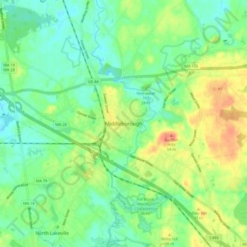
Name: Middleborough topographic map, elevation, terrain.
Average elevation: 82 ft
Minimum elevation: 13 ft
Maximum elevation: 200 ft
Plymouth County trails, hiking, mountain biking, running and outdoor activities
Make a donation
Gear up for your next adventure:
As an Amazon Associate, this site earns from qualifying purchases at no extra cost to you.