Geolocate

Wichita topographic map

Click on the map to display elevation.

About this map

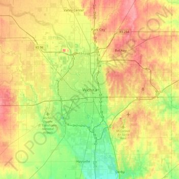
Name: Wichita topographic map, elevation, terrain.

Location: Wichita, Sedgwick County, Kansas, 67202, United States (37.53224 -97.49754 37.85224 -97.17754)

Average elevation: 1,345 ft

Minimum elevation: 1,234 ft

Maximum elevation: 1,457 ft

Sedgwick County trails, hiking, mountain biking, running and outdoor activities

Gear up for your next adventure:

🦺Reflective Outdoor Gear - Safety gear for low‑light conditions
🌲Outdoor Survival Books - Best books on survival skills
🛡️Bear Spray Outdoor - Protection in bear country hikes
🪶Multi‑Purpose Knife - Useful blade for camp and trail
🥩Freeze-Dried Meals - Nutritious and lightweight food for remote expeditions

As an Amazon Associate, this site earns from qualifying purchases at no extra cost to you.