
Nine Mile topographic map
Click on the map to display elevation.
About this map
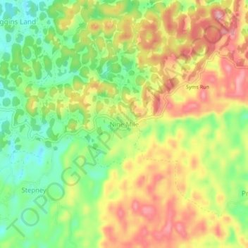
Name: Nine Mile topographic map, elevation, terrain.
Location: Nine Mile, Saint Ann, Middlesex County, Jamaica (18.27700 -77.30119 18.31700 -77.26119)
Average elevation: 2,274 ft
Minimum elevation: 2,008 ft
Maximum elevation: 2,546 ft
Other topographic maps
Click on a map to view its topography, its elevation and its terrain.