Geolocate

Viazzano topographic map

Click on the map to display elevation.

About this map
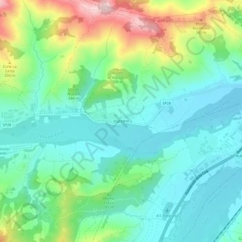
Name: Viazzano topographic map, elevation, terrain.

Location: Viazzano, Varano de' Melegari, Parma, Emilia-Romagna, Italia (44.66592 10.02933 44.70592 10.06933)

Average elevation: 755 ft

Minimum elevation: 469 ft

Maximum elevation: 1,476 ft

Gear up for your next adventure:

🩳Quick‑Dry Hiking Shorts - Comfortable and quick‑dry shorts for summer hiking
🪶LED Camping Lantern - Bright lantern for camp lighting
🎒Gear Packing Cubes - Organize your backpack efficiently
⛺Backpacking Tents - Weight-optimized shelters for multi-day topographic surveys
🚁Photography Drones - Capture stunning aerial views of landforms and topography

As an Amazon Associate, this site earns from qualifying purchases at no extra cost to you.