Geolocate

Pinillos topographic map

Click on the map to display elevation.

About this map

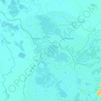
Name: Pinillos topographic map, elevation, terrain.

Location: Pinillos, Mojana, Bolívar, RAP Caribe, Colombia (8.65176 -74.60591 9.07793 -74.21264)

Average elevation: 62 ft

Minimum elevation: 30 ft

Maximum elevation: 1,132 ft

Other topographic maps

Click on a map to view its topography, its elevation and its terrain.

Ancon

Colombia > Bolívar > Santa Cruz de Mompóx

Average elevation: 59 ft

Galerazamba

Colombia > Bolívar > Santa Catalina

Average elevation: 16 ft

Santa Rosa del Sur

Colombia > Bolívar > Santa Rosa del Sur

Average elevation: 1,837 ft

Gear up for your next adventure:

🪄Magnetic Compass - Accurate compass for navigation
📦Dry Bags Set - Waterproof storage for electronics and clothes
🪶Survival Guide Book - Expert advice for emergency preparedness
🏔️Mountain Trail Maps - High‑detail maps for popular peaks
🥾Men's Hiking Boots - Durable, waterproof footwear for rugged terrain and steep inclines

As an Amazon Associate, this site earns from qualifying purchases at no extra cost to you.