
Thank you for supporting this site ❤️
Make a donation
Make a donation
Gear up for your next adventure:
As an Amazon Associate, this site earns from qualifying purchases at no extra cost to you.
Kambout topographic map
Click on the map to display elevation.
Thank you for supporting this site ❤️
Make a donation
Make a donation
Gear up for your next adventure:
As an Amazon Associate, this site earns from qualifying purchases at no extra cost to you.
About this map
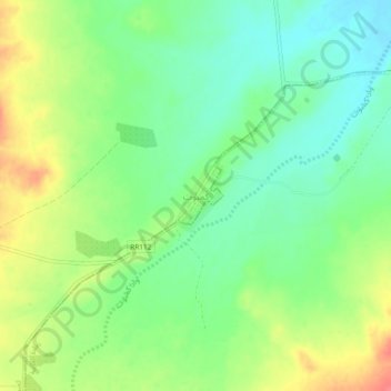
Name: Kambout topographic map, elevation, terrain.
Location: Kambout, كمبوت, معتمدية رمادة, Tataouine, 3245, Tunisia (32.27689 10.28719 32.31689 10.32719)
Average elevation: 1,115 ft
Minimum elevation: 1,030 ft
Maximum elevation: 1,240 ft
Thank you for supporting this site ❤️
Make a donation
Make a donation
Gear up for your next adventure:
As an Amazon Associate, this site earns from qualifying purchases at no extra cost to you.