Geolocate

Buckingham topographic map

Click on the map to display elevation.

About this map

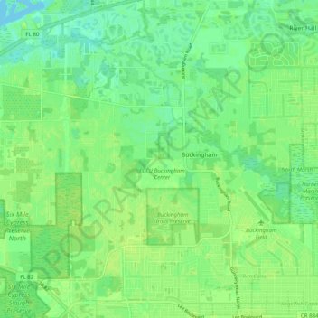
Name: Buckingham topographic map, elevation, terrain.

Location: Buckingham, Fort Myers, Lee County, Florida, United States (26.62725 -81.78474 26.69370 -81.68633)

Average elevation: 23 ft

Minimum elevation: 0 ft

Maximum elevation: 39 ft

Lee County trails, hiking, mountain biking, running and outdoor activities

Other topographic maps

Click on a map to view its topography, its elevation and its terrain.

Arborwood

United States > Florida > Lee County > Fort Myers

Average elevation: 30 ft

The Forum

United States > Florida > Lee County > Fort Myers

Average elevation: 26 ft

Arborwood

United States > Florida > Lee County > Fort Myers > Arborwood

Average elevation: 30 ft

Gear up for your next adventure:

🧦Hiking Socks - Comfortable socks to prevent blisters on long hikes
📷Action Camera - Capture your outdoor adventures in HD
Backpacking Tents - Weight-optimized shelters for multi-day topographic surveys
🧤Tactile Hiking Gloves - Keep hands warm while operating GPS and smartphone screens
🧭Orienteering Set - Complete compass and map reading kit

As an Amazon Associate, this site earns from qualifying purchases at no extra cost to you.