Geolocate

Jupiter Island topographic map

Click on the map to display elevation.

About this map

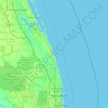
Name: Jupiter Island topographic map, elevation, terrain.

Location: Jupiter Island, Martin County, Florida, United States (26.71172 -80.42060 27.35172 -79.78060)

Average elevation: 10 ft

Minimum elevation: -10 ft

Maximum elevation: 89 ft

Gear up for your next adventure:

🔦Compact Flashlight - Reliable flashlight for emergencies
🔪Outdoor Multitools - Essential survival tools for gear repair and field use
🕶️GPS Smartphone Mount - Secure mount for phone navigation
GPS Sports Watch - GPS watch for running, hiking and training
🔌Solar Panel Charger - Charge gear sustainably outdoors

As an Amazon Associate, this site earns from qualifying purchases at no extra cost to you.