Geolocate

Matubog topographic map

Click on the map to display elevation.

About this map

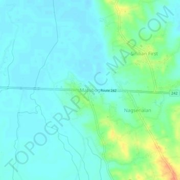
Name: Matubog topographic map, elevation, terrain.

Location: Matubog, Camiling, Tarlac, Central Luzon, 2306, Philippines (15.66623 120.42650 15.70623 120.46650)

Average elevation: 72 ft

Minimum elevation: 39 ft

Maximum elevation: 174 ft

Gear up for your next adventure:

🕶️Glacier Sunglasses - Side shields to protect eyes from high-altitude snow glare
🥇GPS Hiking Watch - Multi‑sport GPS watch with navigation and trail tracking
🌐World Map Poster - Decorative world maps with topographic info
🪶Compact Camp Shovel - Folding shovel for campsite tasks
🧭Outdoor Navigation Book - Learn advanced navigation skills

As an Amazon Associate, this site earns from qualifying purchases at no extra cost to you.