Geolocate

Pontinvrea topographic map

Click on the map to display elevation.

About this map

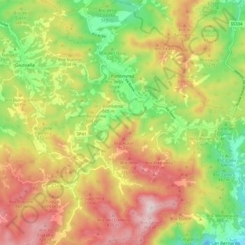
Name: Pontinvrea topographic map, elevation, terrain.

Location: Pontinvrea, Savona, Liguria, 17042, Italy (44.39490 8.40032 44.46688 8.48150)

Average elevation: 1,867 ft

Minimum elevation: 909 ft

Maximum elevation: 2,904 ft

Other topographic maps

Click on a map to view its topography, its elevation and its terrain.

Vara Inferiore

Italy > Liguria > Savona

Average elevation: 2,602 ft

Vara Superiore

Italy > Liguria > Savona

Average elevation: 2,687 ft

Biestro

Italy > Liguria > Savona > Pallare

Average elevation: 1,906 ft

Gear up for your next adventure:

🩹Survival Bandages - High‑quality bandages for emergencies
📷Action Camera - Capture your outdoor adventures in HD
🖼️Topo Map Wall Art - Decorative topographic prints of famous peaks and regions
🔦Powerful Headlamps - Ultra-bright hands-free lighting for night navigation
🏫Relief Map Kits - Hands-on tools for teaching landforms and elevation

As an Amazon Associate, this site earns from qualifying purchases at no extra cost to you.