
Thank you for supporting this site ❤️
Make a donation
Make a donation
Gear up for your next adventure:
As an Amazon Associate, this site earns from qualifying purchases at no extra cost to you.
Tiumang topographic map
Click on the map to display elevation.
Thank you for supporting this site ❤️
Make a donation
Make a donation
Gear up for your next adventure:
As an Amazon Associate, this site earns from qualifying purchases at no extra cost to you.
About this map
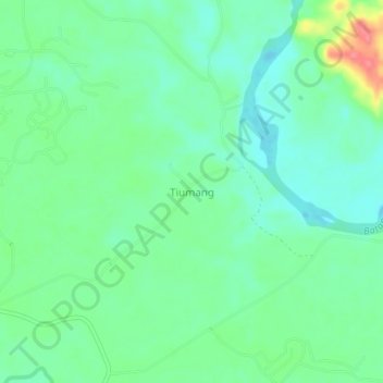
Name: Tiumang topographic map, elevation, terrain.
Location: Tiumang, Koto Baru, West Sumatra, Sumatra, Indonesia (-1.08261 101.71297 -1.04261 101.75297)
Average elevation: 279 ft
Minimum elevation: 207 ft
Maximum elevation: 456 ft
Thank you for supporting this site ❤️
Make a donation
Make a donation
Gear up for your next adventure:
As an Amazon Associate, this site earns from qualifying purchases at no extra cost to you.