Geolocate

Papallacta topographic map

Click on the map to display elevation.

Papallacta

Papallacta is a village at an altitude of 3,300 metres (10,827 feet) in Napo Province, Ecuador. Its population is 635 as of 2022.

Wikipedia (CC-BY-SA 3.0)

About this map

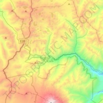
Name: Papallacta topographic map, elevation, terrain.

Location: Papallacta, Quijos, Napo, Ecuador (-0.48438 -78.25596 -0.24104 -78.07250)

Average elevation: 12,497 ft

Minimum elevation: 7,717 ft

Maximum elevation: 18,675 ft

Gear up for your next adventure:

🛡️Bear Spray Outdoor - Protection in bear country hikes
🔌USB Car Charger - Car charger for on‑the‑go power needs
🔦Compact Flashlight - Reliable flashlight for emergencies
🛏️Cold Weather Sleeping Bag - Warm sleeping bag for cold conditions
🛌Ultralight Sleeping Bags - Compact down bags for cold nights in the wilderness

As an Amazon Associate, this site earns from qualifying purchases at no extra cost to you.