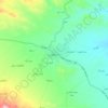
Jiroft topographic map
Click on the map to display elevation.
Jiroft
Jiroft lies in an alluvial plain of the Halil River, on the southern outskirts of the Jebal Barez mountain chain. It sits in a tectonically active basin, at the northern end of the Bandar Abbas-Jiroft fault zone, with both structural and anthropogenic subsidence occurring. Two intermittent streams join the Halil in Jiroft. The mean elevation of the city is about 650 metres (2,130 ft) above sea level. It has a hot desert climate (Köppen climate type: BWh). The weather in the city is sweltering in summer – it is one of the hottest places in Iran – but temperatures are moderate in winter.
About this map
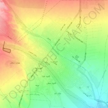
Name: Jiroft topographic map, elevation, terrain.
Average elevation: 2,280 ft
Minimum elevation: 2,083 ft
Maximum elevation: 2,523 ft
Other topographic maps
Click on a map to view its topography, its elevation and its terrain.