
Thank you for supporting this site ❤️
Make a donation
Make a donation
Gear up for your next adventure:
As an Amazon Associate, this site earns from qualifying purchases at no extra cost to you.
Tease topographic map
Click on the map to display elevation.
Thank you for supporting this site ❤️
Make a donation
Make a donation
Gear up for your next adventure:
As an Amazon Associate, this site earns from qualifying purchases at no extra cost to you.
About this map
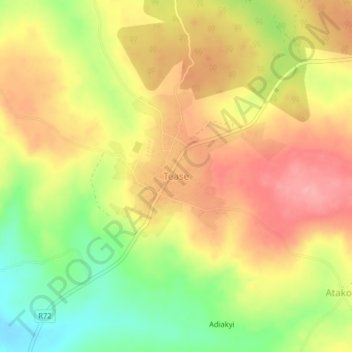
Name: Tease topographic map, elevation, terrain.
Location: Tease, Kwahu Afram Plains South District, Eastern Region, Ghana (6.91178 -0.27431 6.95178 -0.23431)
Average elevation: 738 ft
Minimum elevation: 528 ft
Maximum elevation: 899 ft
Thank you for supporting this site ❤️
Make a donation
Make a donation
Gear up for your next adventure:
As an Amazon Associate, this site earns from qualifying purchases at no extra cost to you.