Geolocate

Delta topographic map

Click on the map to display elevation.

About this map

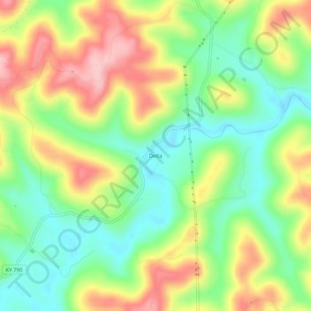
Name: Delta topographic map, elevation, terrain.

Location: Delta, Wayne County, Kentucky, United States (36.84452 -84.67716 36.88452 -84.63716)

Average elevation: 1,020 ft

Minimum elevation: 771 ft

Maximum elevation: 1,345 ft

Wayne County trails, hiking, mountain biking, running and outdoor activities

Other topographic maps

Click on a map to view its topography, its elevation and its terrain.

Monticello

United States > Kentucky > Wayne County

Average elevation: 997 ft

Monticello

United States > Kentucky > Wayne County

Average elevation: 997 ft

Gear up for your next adventure:

🛡️Insect Repellent - Protection against bugs during outdoor activities
💧Water Purification System - Clean water on the trail with reliable purifiers
🦺Reflective Outdoor Gear - Safety gear for low‑light conditions
🏫Relief Map Kits - Hands-on tools for teaching landforms and elevation
🪶Multi‑Purpose Knife - Useful blade for camp and trail

As an Amazon Associate, this site earns from qualifying purchases at no extra cost to you.