Geolocate

Malone topographic map

Click on the map to display elevation.

About this map

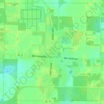
Name: Malone topographic map, elevation, terrain.

Location: Malone, Jackson County, Florida, United States (30.94625 -85.17698 30.97165 -85.14736)

Average elevation: 144 ft

Minimum elevation: 118 ft

Maximum elevation: 157 ft

Jackson County trails, hiking, mountain biking, running and outdoor activities

Other topographic maps

Click on a map to view its topography, its elevation and its terrain.

Alford

United States > Florida > Jackson County > Alford

Average elevation: 141 ft

Compass Lake

United States > Florida > Jackson County

Average elevation: 217 ft

Drummond Bay

United States > Florida > Jackson County

Average elevation: 138 ft

Graceville

United States > Florida > Jackson County > Graceville

Average elevation: 167 ft

Two Egg

United States > Florida > Jackson County

Average elevation: 128 ft

Gear up for your next adventure:

🧴Hand Sanitizer - Keep hands clean while hiking
🥤Water Filter Bottle - All‑in‑one filter bottle for safe hydration
🏫Relief Map Kits - Hands-on tools for teaching landforms and elevation
🔥Camping Stove - Portable stove for camping and backcountry cooking
🍳Camping Cook Set - Complete cookware for outdoor meals

As an Amazon Associate, this site earns from qualifying purchases at no extra cost to you.