Geolocate

Gervais topographic map

Click on the map to display elevation.

About this map

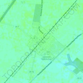
Name: Gervais topographic map, elevation, terrain.

Location: Gervais, Marion County, Oregon, 97026, United States (45.10191 -122.90462 45.11523 -122.88674)

Average elevation: 184 ft

Minimum elevation: 167 ft

Maximum elevation: 190 ft

Marion County trails, hiking, mountain biking, running and outdoor activities

Other topographic maps

Click on a map to view its topography, its elevation and its terrain.

Labish Center

United States > Oregon > Marion County

Average elevation: 167 ft

Brooks

United States > Oregon > Marion County

Average elevation: 180 ft

Fruitland

United States > Oregon > Marion County > Fruitland

Average elevation: 210 ft

Jawbone Flats

United States > Oregon > Marion County

Average elevation: 2,887 ft

West Stayton

United States > Oregon > Marion County

Average elevation: 381 ft

Gear up for your next adventure:

❄️Traction Cleats - Prevent slips on icy trails during winter hikes
📷Action Cameras - Rugged cameras to document your journeys across rugged terrain
🌧️Backpack Rain Cover - Keep gear dry in wet weather
📱Solar Portable Charger - Solar power bank for charging devices off‑grid
🧭Map Reading Tools - Tools and kits for map navigation

As an Amazon Associate, this site earns from qualifying purchases at no extra cost to you.