Geolocate

Tingo Grande topographic map

Click on the map to display elevation.

About this map

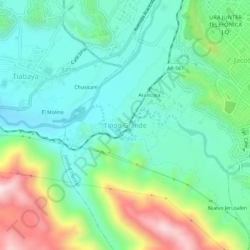
Name: Tingo Grande topographic map, elevation, terrain.

Location: Tingo Grande, Jacobo Hunter, Arequipa, 04012, Peru (-16.47758 -71.59481 -16.43758 -71.55481)

Average elevation: 7,464 ft

Minimum elevation: 6,952 ft

Maximum elevation: 8,704 ft

Gear up for your next adventure:

🛠️Outdoor Gear Repair Kit - Essential tools to fix gear on the trail
🔭Stargazing Telescopes - Perfect for camping in low-light pollution areas shown on maps
Solar GPS Watches - Advanced multisport watches with built-in topographic maps
🪑Portable Camp Table - Compact table for campsite meals
🩳Quick‑Dry Hiking Shorts - Comfortable and quick‑dry shorts for summer hiking

As an Amazon Associate, this site earns from qualifying purchases at no extra cost to you.