Geolocate

Ashley Heath topographic map

Click on the map to display elevation.

About this map

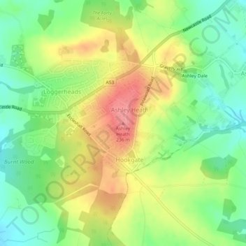
Name: Ashley Heath topographic map, elevation, terrain.

Location: Ashley Heath, Newcastle-under-Lyme, Staffordshire, England, TF9 4QR, United Kingdom (52.91836 -2.37989 52.91846 -2.37979)

Average elevation: 630 ft

Minimum elevation: 502 ft

Maximum elevation: 787 ft

Other topographic maps

Click on a map to view its topography, its elevation and its terrain.

Gear up for your next adventure:

🧣Merino Neck Gaiters - Multi-functional headwear for wind and sun protection
💧Water Filtration Bottles - Safely drink from streams and lakes while exploring
Camping Coffee Makers - Enjoy premium coffee at the summit or campsite
🥾Men's Hiking Boots - Durable, waterproof footwear for rugged terrain and steep inclines
👖Convertible Hiking Pants - Versatile zip-off pants for changing altitudes and temperatures

As an Amazon Associate, this site earns from qualifying purchases at no extra cost to you.