Geolocate

Reedsville topographic map

Click on the map to display elevation.

About this map
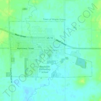
Name: Reedsville topographic map, elevation, terrain.

Location: Reedsville, Manitowoc County, Wisconsin, United States (44.14492 -87.96448 44.16064 -87.93356)

Average elevation: 833 ft

Minimum elevation: 814 ft

Maximum elevation: 856 ft

Manitowoc County trails, hiking, mountain biking, running and outdoor activities

Other topographic maps

Click on a map to view its topography, its elevation and its terrain.

Grimms

United States > Wisconsin > Manitowoc County > Town of Cato

Average elevation: 876 ft

Gear up for your next adventure:

🗺️NatGeo Topo Maps - High-quality waterproof printed topographic maps of US Parks
🪶Paracord Bracelet - Survival bracelet with built‑in tools
🔥Camping Stove - Portable stove for camping and backcountry cooking
🌡️Handheld Weather Meters - Measure wind, temp, and pressure for safe mountain travel
🏫Relief Map Kits - Hands-on tools for teaching landforms and elevation

As an Amazon Associate, this site earns from qualifying purchases at no extra cost to you.