Geolocate

Tibás topographic map

Click on the map to display elevation.

Tibás

Tibás has an area of 8.27 km2 (3.19 sq mi) and a mean elevation of 1,140 m (3,740 ft).

Wikipedia (CC-BY-SA 3.0)

About this map

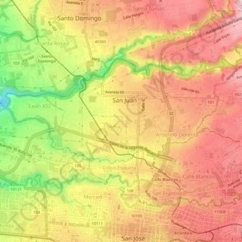
Name: Tibás topographic map, elevation, terrain.

Location: Tibás, San José, San Jose Province, Costa Rica (9.94151 -84.10703 9.97283 -84.05514)

Average elevation: 3,770 ft

Minimum elevation: 3,314 ft

Maximum elevation: 4,052 ft

Gear up for your next adventure:

🪶Survival Guide Book - Expert advice for emergency preparedness
🔥Fast-Boil Camping Stoves - Efficient cooking systems for quick trail meals
📱Heavy-Duty Phone Cases - Drop-proof and waterproof protection for outdoor navigation
🗻Climbing Gear Basics - Essential gear for beginner climbers
🛠️Outdoor Gear Repair Kit - Essential tools to fix gear on the trail

As an Amazon Associate, this site earns from qualifying purchases at no extra cost to you.