
Chauhan Patti topographic map
Click on the map to display elevation.
About this map
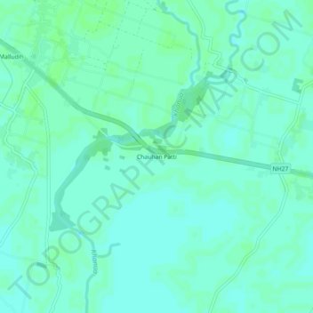
Name: Chauhan Patti topographic map, elevation, terrain.
Location: Chauhan Patti, Kasya, Kushinagar, Uttar Pradesh, India (26.67755 83.97127 26.71755 84.01127)
Average elevation: 256 ft
Minimum elevation: 243 ft
Maximum elevation: 262 ft