Geolocate

Mari Indus topographic map

Click on the map to display elevation.

About this map

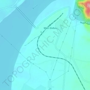
Name: Mari Indus topographic map, elevation, terrain.

Location: Mari Indus, Punjab, Pakistan (32.93556 71.54996 32.96146 71.57347)

Average elevation: 732 ft

Minimum elevation: 686 ft

Maximum elevation: 1,155 ft

Gear up for your next adventure:

🔥Fast-Boil Camping Stoves - Efficient cooking systems for quick trail meals
🔥Camping Stove - Portable stove for camping and backcountry cooking
📖Nature Tracking Books - Learn to track wildlife and terrain
🚪Portable Camp Chair - Foldable chair for comfort at camp
🗺️Topographic Maps - Detailed topo maps for hiking, exploring and outdoor navigation

As an Amazon Associate, this site earns from qualifying purchases at no extra cost to you.