Geolocate

Duck Hill topographic map

Click on the map to display elevation.

About this map

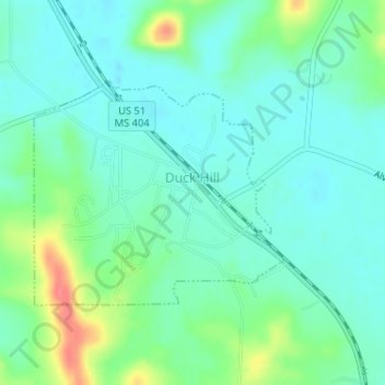
Name: Duck Hill topographic map, elevation, terrain.

Location: Duck Hill, Montgomery County, Mississippi, United States (33.62419 -89.72454 33.63997 -89.70339)

Average elevation: 279 ft

Minimum elevation: 220 ft

Maximum elevation: 436 ft

Montgomery County trails, hiking, mountain biking, running and outdoor activities

Gear up for your next adventure:

🧼Biodegradable Camping Soap - Eco‑friendly soap for outdoor hygiene
🧤Hiking Gloves - Protective gloves for rugged trails
📚Navigation Handbooks - Master the art of reading topographic maps and using a compass
🧥Waterproof Jacket for Hiking - Breathable and rugged rain jacket for outdoor excursions
🎒Gear Packing Cubes - Organize your backpack efficiently

As an Amazon Associate, this site earns from qualifying purchases at no extra cost to you.