Geolocate

Punta Roma topographic map

Click on the map to display elevation.

About this map

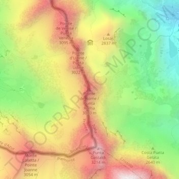
Name: Punta Roma topographic map, elevation, terrain.

Location: Punta Roma, Crissolo, Cuneo, Piemonte, Italia (44.68959 7.07567 44.68969 7.07577)

Average elevation: 8,671 ft

Minimum elevation: 6,624 ft

Maximum elevation: 10,797 ft

Other topographic maps

Click on a map to view its topography, its elevation and its terrain.

Lago Chiaretto

Italia > Piemonte > Cuneo > Crissolo

Average elevation: 8,084 ft

Gear up for your next adventure:

🎒Outdoor Daypacks - Lightweight backpacks designed for carrying maps and essential gear
📚Navigation Handbooks - Master the art of reading topographic maps and using a compass
🛏️Cold Weather Sleeping Bag - Warm sleeping bag for cold conditions
🧤Tactile Hiking Gloves - Keep hands warm while operating GPS and smartphone screens
🔥Camping Stove - Portable stove for camping and backcountry cooking

As an Amazon Associate, this site earns from qualifying purchases at no extra cost to you.