
Thank you for supporting this site ❤️
Make a donation
Make a donation
Gear up for your next adventure:
As an Amazon Associate, this site earns from qualifying purchases at no extra cost to you.
만년산 topographic map
Click on the map to display elevation.
Thank you for supporting this site ❤️
Make a donation
Make a donation
Gear up for your next adventure:
As an Amazon Associate, this site earns from qualifying purchases at no extra cost to you.
About this map
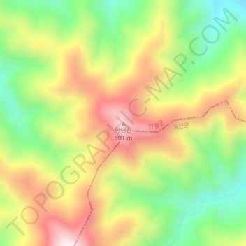
Name: 만년산 topographic map, elevation, terrain.
Location: 만년산, Sinpyong County, North Hwanghae, North Korea (38.84382 126.81347 38.84392 126.81357)
Average elevation: 1,942 ft
Minimum elevation: 1,014 ft
Maximum elevation: 2,963 ft
Thank you for supporting this site ❤️
Make a donation
Make a donation
Gear up for your next adventure:
As an Amazon Associate, this site earns from qualifying purchases at no extra cost to you.